Leverage smart maps
Traffic is a major issue during an evacuation. There are existing sophisticated technologies to mitigate traffic that can be pointed to. It also might be relevant to create zones with different evacuation times.
Examples
______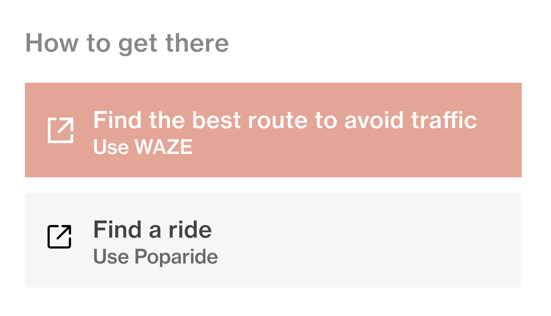
Smart maps & scheduled departures to throttle traffic
Connecting people to webapps like WAZE, or giving different zones different departure times.
Supporting research
______
“Traffic engineers and planners have known for years how to design evacuation that optimize the ability of the system to deliver people to safety. Most areas focus on identifying evacuation routes and shelters, and not on staging and notification.
“Traffic jams during hurricane evacuations are entirely preventable” Hani Mahmassani, Director of Transportation Center at Northwestern University, 2017
“Traffic jams during hurricane evacuations are entirely preventable” Hani Mahmassani, Director of Transportation Center at Northwestern University, 2017
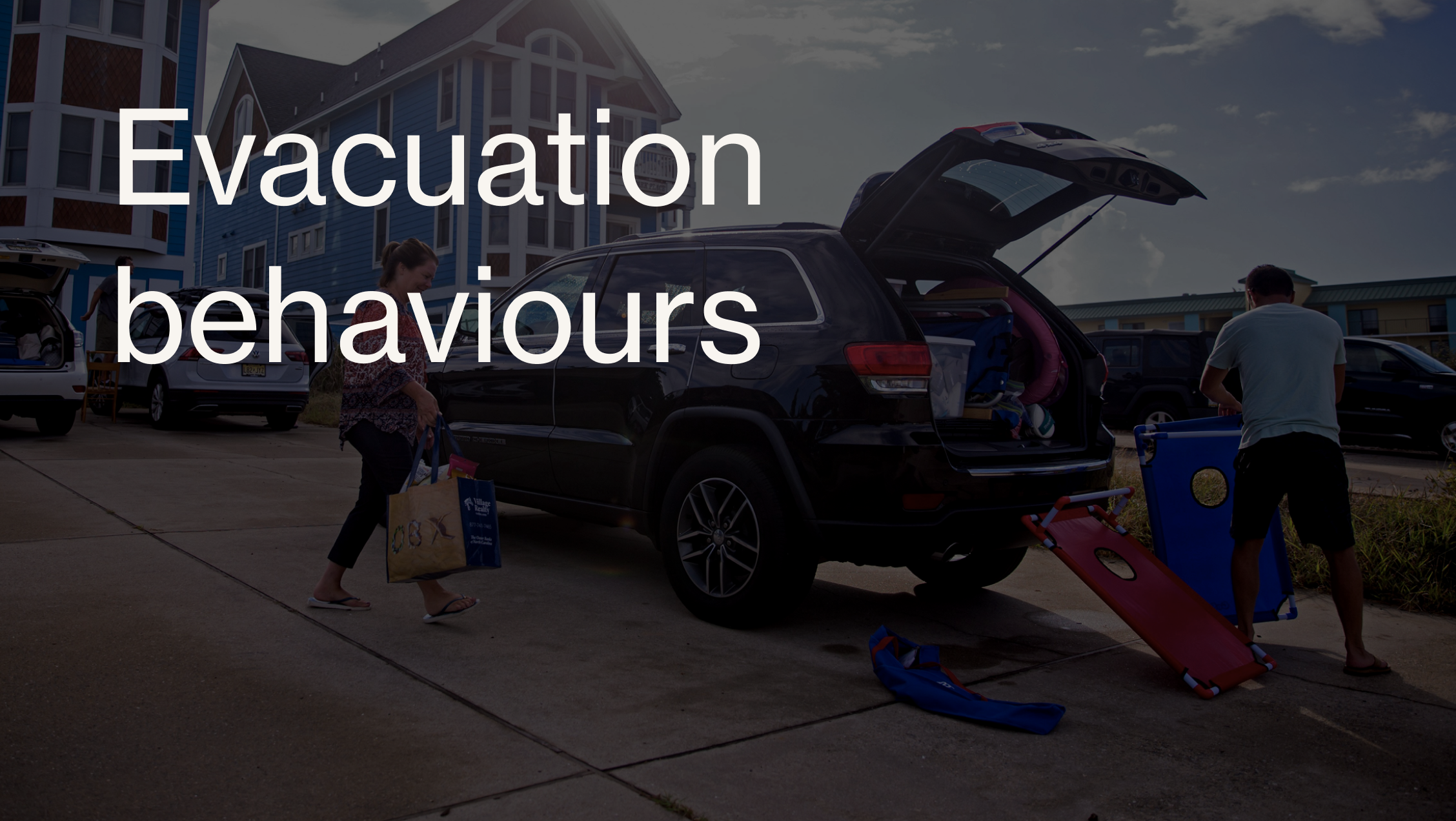
People tend to wait until the last minute possible to leave. Unfortunately, their notion of “last minute” is typically based on travel times during normal conditions, not under severe evacuation.
When faced with the reality of needing to evacuate, people start figuring out who they need to pick up, where to go, and so on, creating secondary traffic patterns that interfere with the general direction of the evacuation.
Once the orders are given, many people want to leave when they want, not necessarily when it is optimal for the system as a whole to ensure the shortest possible clearance time and the least delay to all users.
“Traffic jams during hurricane evacuations are entirely preventable” Hani Mahmassani, Director of Transportation Center at Northwestern University, 2017